
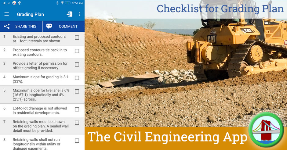
This checklist provides lit of information that must be provided in a Site Grading Plan so that proper grading work can be carried out as per project specifications and applicable local/international codes and standards.
| Sr | Check Item | Done |
| 1 | Existing and proposed contours at 1 foot intervals are shown. | |
| 2 | Proposed contours tie back in to existing contours. | |
| 3 | Provide a letter of permission for offsite grading if necessary. | |
| 4 | Maximum slope for grading is 3:1 (33%). | |
| 5 | Maximum slope for fire lane is 6% (16.67:1) longitudinally and 4% (25:1) across. | |
| 6 | Lot-to-lot drainage is not allowed in residential developments. | |
| 7 | Retaining walls must be shown on the grading plan. A sealed wall detail must be provided. | |
| 8 | Retaining walls shall not run longitudinally within utility or drainage easements. | |
| 9 | Clearly show all walls and label top/bottom elevations of wall at key locations. | |
| 10 | Finished Floor Elevations (on plat) are a minimum of 2 feet above the adjacent ultimate 100-year WSE. | |
| 11 | Guardrail required when slopes exceeding 3:1, walls, or other obstructions are within 30 feet of roadways or driveways. | |
| 12 | Both onsite and offsite existing/proposed contours shown clearly labeled. | |
| 13 | Date and name of firm who prepared geotechnical report with corresponding note stating: “Work shall be done in accordance with the Geotechnical Report by ______, dated ______.” | |
| 14 | Drainage clarified by flow arrows, high points, sags, ridges, and valley gutters. | |
| 15 | Show driveway locations for all lots adjacent to storm inlets. | |
| 16 | Show drop grade beams and elevations as needed. | |
| 17 | Positive overflow provided at all low points, easements dedicated as needed. | |
| 18 | Finished pad and/or floor elevations shown. | |
| 19 | Minimum finished floor elevations shown adjacent to floodplains, ponds, creeks/channels, etc. | |
| 20 | FEMA 100-yr floodplain and Fully Developed 100-yr floodplain delineated. | |
| 21 | Cross-sections and flow data for all swales and open channels provided. | |
| 22 | Spot shots shown to ensure proper drainage and adequate ADA/TAS routing where applicable. |